For even the most seasoned adventurers, organizing a trip has always been a difficult undertaking. It used to require managing intricate itineraries, arranging several reservations, and monitoring dozens of travel documents. But those headaches are no longer an issue thanks to the development of tools like Google Maps. Google Maps is now a complete travel companion that can plan, optimize, and completely change your trip—from planning to execution—far beyond its initial use as a navigation tool. Google Maps has completely changed the way people plan their travels, making it simpler, more effective, and incredibly convenient—from assisting you in finding new places to providing real-time traffic information.
The integration of Google Maps with Google My Maps is one of the most notable features that facilitates travel planning. With the help of this custom mapping tool, users can make personalized maps by marking several locations, color-coding them, and even grouping them according to particular interests like dining, attractions, or lodging. Travelers can easily visualize their trip, maintain organization, and get the information they need quickly while on the go thanks to the ability to layer destinations. Notably, this feature integrates the travel itinerary with the user’s daily schedule and works flawlessly with other Google services like Calendar and Drive, increasing its usefulness. Google Maps offers a comprehensive travel experience by integrating these services, streamlining the process and reducing the stress associated with planning a trip.
| Tool | Features | Benefits | User-Friendly Options |
|---|---|---|---|
| Google Maps (My Maps) | Custom pinning, color-coded layers, integration with Google Drive and Calendar | Plan day-by-day trips, optimize routes, share maps with others | Easy to use for both seasoned travelers and beginners |
| Google Maps | Traffic analysis, real-time navigation, multiple transport modes | Optimize travel times, avoid traffic, track progress | Accessible on both mobile and desktop platforms |
| Google Calendar | Syncs with Google Maps for planning itineraries | Schedule events with location links, organize travel activities | Reminders and alerts for travel details |
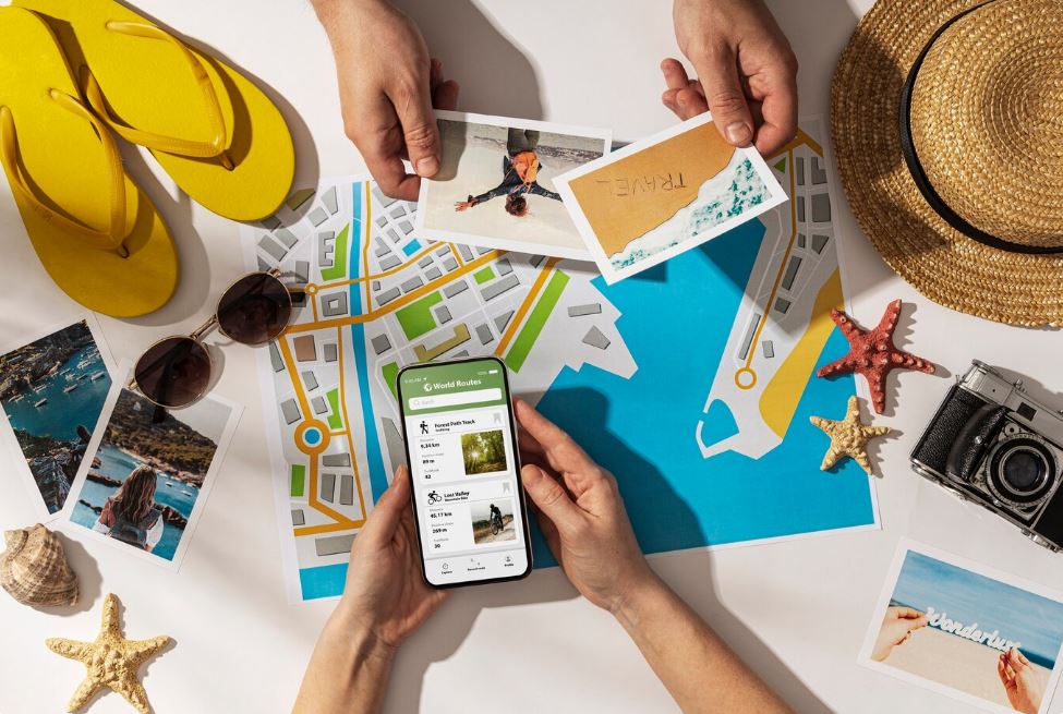
The ability of Google Maps to simplify transportation options is where its true magic in trip planning lies. Google Maps actively evaluates real-time traffic data to provide you with alternate routes that avoid traffic jams, in addition to providing you with the quickest route to your destination. Google Maps offers real-time information on traffic hotspots, road closures, and delays whether you’re walking, driving, or taking public transit. For road trips, where unforeseen traffic or detours can throw your plans for a loop, this feature is especially helpful. You can stay ahead of any potential obstacles and modify your route without missing a beat by using Google Maps. Because it ensures the most efficient travel times and makes sure your trip goes as smoothly as possible, this feature also helps reduce stress when traveling long distances.
Additionally, Google Maps is excellent at giving you current, pertinent information about your destinations. You can use your phone to research hotels, restaurants, tourist attractions, and more when organizing your next vacation. You can use Google Maps to filter results according to price, distance, ratings, and other personal preferences. Furthermore, user reviews give you important information about the experience and quality of different places, allowing you to plan ahead before you travel. When visiting new places, where advice from locals and other travelers can make all the difference, this vast database of user-generated content is immensely helpful. Google Maps makes sure you’re always prepared to make the most of your trip, whether you’re in a busy city or a remote location.
The experience of organizing a trip is further improved by the integration of Google Maps and Google Photos. Many people gather pictures of the destinations they wish to see when planning a trip. Previously, these pictures would be dispersed throughout different gadgets or folders, making it difficult to access them while traveling. By connecting your images to locations on the map, Google Photos’ integration with Google Maps makes this process easier. With the map in front of you, you can quickly access photos of the locations you’ve saved thanks to this integration. This feature helps you remember important landmarks and attractions while organizing your trip by location and producing a visually immersive planning experience.
Google Maps provides an easy way to manage multiple stops and optimize routes for travelers planning multi-destination trips. Whether organizing a road trip or hopping between cities, users can use the multiple-stop feature to create an itinerary that spans multiple destinations. For tourists who need to plan a route that minimizes backtracking and maximizes sightseeing opportunities, this feature is perfect. A layer of versatility is added by the ability to incorporate driving directions and public transportation options, enabling passengers to effortlessly combine various forms of transportation for optimal convenience. Furthermore, Google Maps helps users stay on course and prevent the aggravation of missed connections or constrained schedules by providing essential information like estimated travel times.